Why mapping marine or lacustrine terraces?
Monday 17 August 2015 kl. 18:12
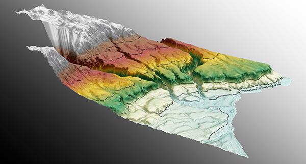
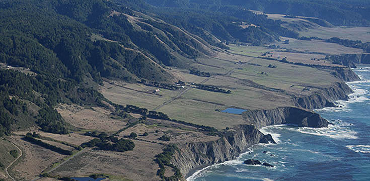
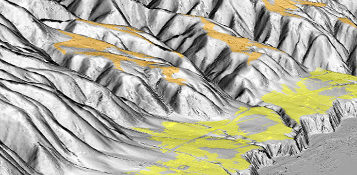
Marine terraces have long been used to estimate past sea-level positions and the amount of uplift that coastlines have experienced since their formation (e.g., Gilbert, 1890; Lajoie, 1986). Because these landforms record former shorelines, they provide valuable markers for reconstructing long-term vertical movements of the Earth’s surface. Surface deformation rates derived from marine terraces are essential for understanding seismo-tectonic segmentation, earthquake recurrence, and the mechanisms of crustal deformation along active coastal regions. These insights are particularly important in densely populated coastal areas where tectonic activity poses significant hazards.
Similarly, lacustrine terraces, which form through processes comparable to those of marine terraces, have been used to investigate paleoclimate variations and tectonic deformation within continental interiors. Overall, the study of marine terraces as indicators of tectonic deformation has provided first-order constraints for assessing earthquake hazards in many active coastal regions around the world.
References
Gilbert, G. K. (1890). Lake Bonneville. USGS Monograph 1, U.S. Geological Survey.
Lajoie, K. R. (1986). Coastal tectonics. In N. A. Press (Ed.), Active Tectonics (pp. 95–124). Washington, D.C.: National Academy Press.
...