Search
Feeds
Archives
About
Links
About
Monday 17 August 2015 at 5:26 pm.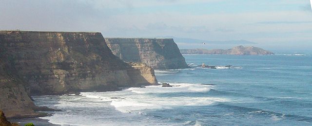
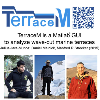
About TerraceM:
A Matlab® interface for mapping and modeling marine and lacustrine terraces using high resolution topography. TerraceM has been designed by Dr. Julius Jara-Muñoz, with the cooperation of Professors Daniel Melnick Kevin Pedoja and Manfred Strecker from universities in France, Chile, and Germany.
Additional information: TerraceM-2 and TerraceM-1 related scientiffic papers provide more details and examples
The precise identification of the shoreline angle is essential for deriving reliable tectonic uplift rates and correlating terrace levels across coastal regions. To facilitate the rapid mapping and analysis of shoreline angles at regional scales, we developed TerraceM. TerraceM is a MATLAB®-based application designed to analyze marine and lacustrine terraces using high-resolution topography. The software allows users to estimate shoreline-angle elevations and their associated uncertainties directly from digital elevation models through the extraction of swath profiles and profile interpolation. TerraceM also supports the analysis of terrace morphology and spatial deformation patterns, helping researchers investigate coastal uplift and the tectonic processes responsible for terrace formation. For flexibility, the software is organized into several modules, each with its own Graphical User Interface (GUI) and functionality, allowing users to build customized analysis workflows.
About the author:
Dr. Julius Jara-Muñoz is a senior researcher with broad experience in the field and in software programming, currently stablished at the University of Potsdam by an own position funded by the DFG (German Education Ministry). His research focuses on studying surface deformation processes in tectonically active areas from different perspectives using multidisciplinary approaches.
